Old Direction Sign - Signpost by High Street, Bassingham
Introduction
The photograph on this page of Old Direction Sign - Signpost by High Street, Bassingham by Milestone Society as part of the Geograph project.
The Geograph project started in 2005 with the aim of publishing, organising and preserving representative images for every square kilometre of Great Britain, Ireland and the Isle of Man.

There are currently over 7.5m images from over 14,400 individuals and you can help contribute to the project by visiting https://www.geograph.org.uk
Old Direction Sign - Signpost by High Street, Bassingham
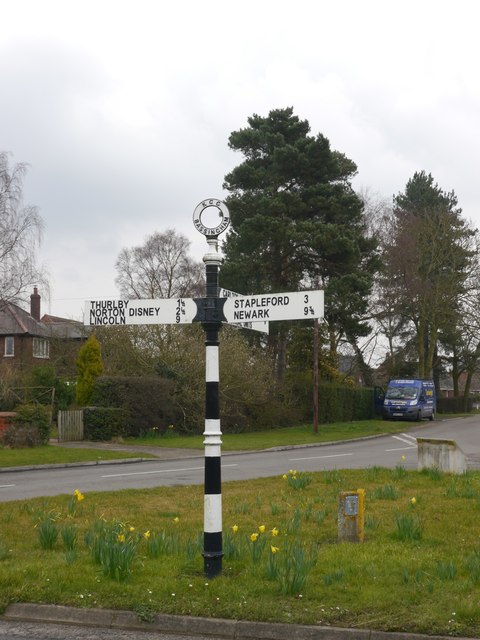
Image: © Milestone Society Taken: Unknown
Annulus finial - 3 arms; by the UC road, in parish of Bassingham (North Kesteven District), junction of Linga Lane and Croft Lane with High Street, Bassingham, on grass island. Surveyed Milestone Society National ID: LI_SK9160
Images are licensed for reuse under creativecommons.org/licenses/by-sa/2.0
Image Location
Latitude
53.131634
Longitude
-0.638055