Old Boundary Marker by Marlborough Road, Salford
Introduction
The photograph on this page of Old Boundary Marker by Marlborough Road, Salford by Milestone Society as part of the Geograph project.
The Geograph project started in 2005 with the aim of publishing, organising and preserving representative images for every square kilometre of Great Britain, Ireland and the Isle of Man.

There are currently over 7.5m images from over 14,400 individuals and you can help contribute to the project by visiting https://www.geograph.org.uk
Old Boundary Marker by Marlborough Road, Salford
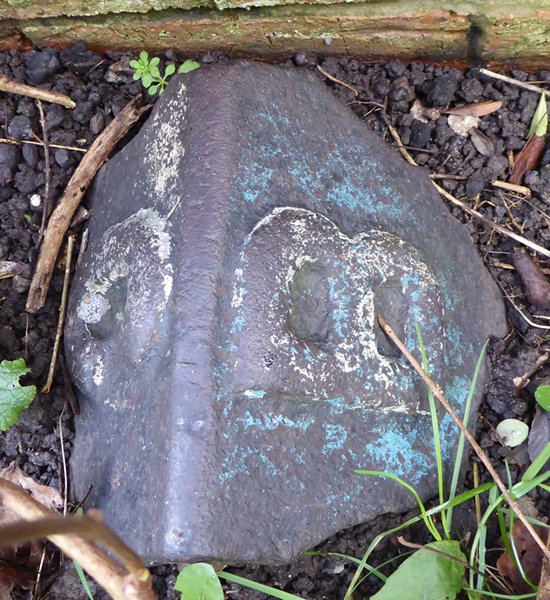
Image: © Milestone Society Taken: Unknown
Parish Boundary Marker by the UC road, in parish of Salford (Salford District), Marlborough Road, immediately behind front garden wall of 109 Marlborough Road, to right of gate. Surveyed Milestone Society National ID: LA_BROCHE06pb
Images are licensed for reuse under creativecommons.org/licenses/by-sa/2.0
Image Location
Latitude
53.506637
Longitude
-2.247926