Old Guide Stone by the A394, at Longdowns, Mabe parish
Introduction
The photograph on this page of Old Guide Stone by the A394, at Longdowns, Mabe parish by Milestone Society as part of the Geograph project.
The Geograph project started in 2005 with the aim of publishing, organising and preserving representative images for every square kilometre of Great Britain, Ireland and the Isle of Man.

There are currently over 7.5m images from over 14,400 individuals and you can help contribute to the project by visiting https://www.geograph.org.uk
Old Guide Stone by the A394, at Longdowns, Mabe parish
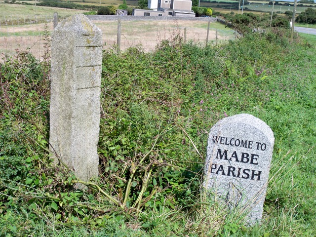
Image: © Milestone Society Taken: Unknown
Stone post by the A394, in parish of Mabe (Kerrier District), on approach to village, beside MABE PARISH stone, Longdowns, set back on wide verge. Cornwall & Scilly HER. HER Number: MCO57607 https://www.heritagegateway.org.uk/Gateway/Results_Single.aspx?uid=MCO57607&resourceID=1020 Surveyed Milestone Society National ID: CW_PZTO20x
Images are licensed for reuse under creativecommons.org/licenses/by-sa/2.0
Image Location
Latitude
50.163978
Longitude
-5.157384