Old Guide Stone by Low Hutton, Leyburn parish
Introduction
The photograph on this page of Old Guide Stone by Low Hutton, Leyburn parish by Milestone Society as part of the Geograph project.
The Geograph project started in 2005 with the aim of publishing, organising and preserving representative images for every square kilometre of Great Britain, Ireland and the Isle of Man.

There are currently over 7.5m images from over 14,400 individuals and you can help contribute to the project by visiting https://www.geograph.org.uk
Old Guide Stone by Low Hutton, Leyburn parish
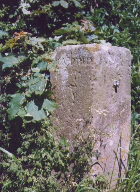
Image: © Milestone Society Taken: Unknown
Guide Stone by the UC road, in parish of Leyburn (Richmondshire District), Low Hutton, East of junction with Hutton Hang and Hutton Hill in No Man's Moor Lane. Original location was directly opposite junction. Inscription reads:- : Leyburn : : Middleh / am : North Yorkshire HER. NY SMR Number: MNY36625 https://www.heritagegateway.org.uk/Gateway/Results_Single.aspx?uid=MNY36625&resourceID=1009 Surveyed Milestone Society National ID: YN_XLEYc
Images are licensed for reuse under creativecommons.org/licenses/by-sa/2.0
Image Location
Latitude
54.296264
Longitude
-1.727384