Old Milestone by the A164, Main Street, Leconfield
Introduction
The photograph on this page of Old Milestone by the A164, Main Street, Leconfield by John Harland as part of the Geograph project.
The Geograph project started in 2005 with the aim of publishing, organising and preserving representative images for every square kilometre of Great Britain, Ireland and the Isle of Man.

There are currently over 7.5m images from over 14,400 individuals and you can help contribute to the project by visiting https://www.geograph.org.uk
Old Milestone by the A164, Main Street, Leconfield
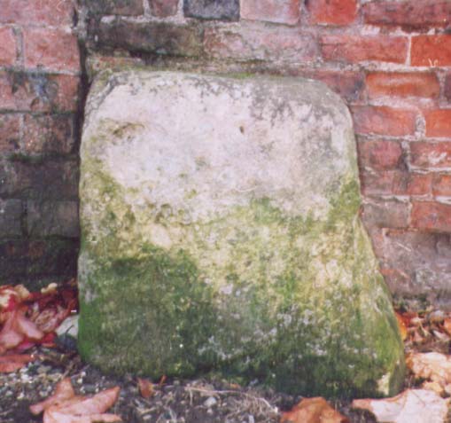
Image: © John Harland Taken: 1 Sep 2001
Stone post (plate lost) by the A164, in parish of LECONFIELD (EAST RIDING OF YORKSHIRE District), Castle Farm, by the Smithy, by brick wall, on West side of road. Beverley Mounting block, 2 step, erected by the Beverley to Kendale House turnpike trust in the 18th/19th century. Inscription once read:- (BEVERLEY) (3) (DRIFFIELD) (10) Milestone Society National ID: YE_BVDR03.
Images are licensed for reuse under creativecommons.org/licenses/by-sa/2.0
Image Location
Latitude
53.878161
Longitude
-0.459357