Where the A367 and the Fosse Way part company
Introduction
The photograph on this page of Where the A367 and the Fosse Way part company by Neil Owen as part of the Geograph project.
The Geograph project started in 2005 with the aim of publishing, organising and preserving representative images for every square kilometre of Great Britain, Ireland and the Isle of Man.

There are currently over 7.5m images from over 14,400 individuals and you can help contribute to the project by visiting https://www.geograph.org.uk
Where the A367 and the Fosse Way part company
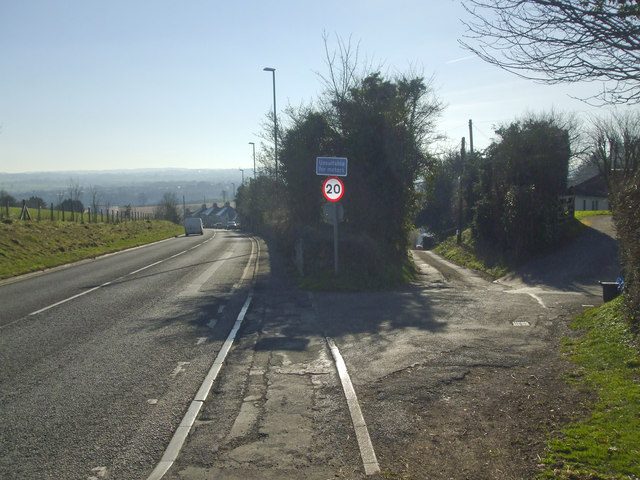
Image: © Neil Owen Taken: 25 Feb 2019
Approaching Clandown and Radstock from the north east. the main road stops using the old Roman road here. The latter continues through the village in a much less busy fashion.
Images are licensed for reuse under creativecommons.org/licenses/by-sa/2.0
Image Location
Latitude
51.302517
Longitude
-2.452226