Footpath and lane, Higher Beenleigh
Introduction
The photograph on this page of Footpath and lane, Higher Beenleigh by Derek Harper as part of the Geograph project.
The Geograph project started in 2005 with the aim of publishing, organising and preserving representative images for every square kilometre of Great Britain, Ireland and the Isle of Man.

There are currently over 7.5m images from over 14,400 individuals and you can help contribute to the project by visiting https://www.geograph.org.uk
Footpath and lane, Higher Beenleigh
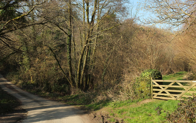
Image: © Derek Harper Taken: 26 Feb 2019
The gate on the right leads onto Harberton footpath 17, which follows the valley of a tributary of the Beenleigh Brook.
Images are licensed for reuse under creativecommons.org/licenses/by-sa/2.0
Image Location
Latitude
50.405722
Longitude
-3.756297