Canford Avenue
Introduction
The photograph on this page of Canford Avenue by Nigel Mykura as part of the Geograph project.
The Geograph project started in 2005 with the aim of publishing, organising and preserving representative images for every square kilometre of Great Britain, Ireland and the Isle of Man.

There are currently over 7.5m images from over 14,400 individuals and you can help contribute to the project by visiting https://www.geograph.org.uk
Canford Avenue
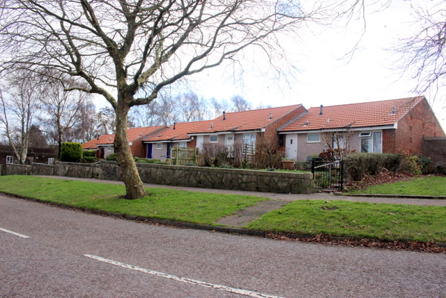
Image: © Nigel Mykura Taken: 7 Feb 2019
This little terrace of single storey small houses looks across Canford Avenue onto the open space of Turbary Common which is the largest area of heathland in north Bournemouth and a Site of Special Scientific Interest.
Images are licensed for reuse under creativecommons.org/licenses/by-sa/2.0
Image Location
Latitude
50.75043
Longitude
-1.915041