Mill House, Railes Lane, Luddenden
Introduction
The photograph on this page of Mill House, Railes Lane, Luddenden by Stephen Craven as part of the Geograph project.
The Geograph project started in 2005 with the aim of publishing, organising and preserving representative images for every square kilometre of Great Britain, Ireland and the Isle of Man.

There are currently over 7.5m images from over 14,400 individuals and you can help contribute to the project by visiting https://www.geograph.org.uk
Mill House, Railes Lane, Luddenden
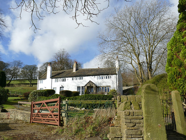
Image: © Stephen Craven Taken: 16 Feb 2019
The building is 17th century in origin and probably acquired its present name in the 19th, when the Eastwood family lived here until 1878. They owned Millhouse Mills and Pepper Hill Mills (both now demolished). Listed grade II (list entry 1134544).
Images are licensed for reuse under creativecommons.org/licenses/by-sa/2.0
Image Location


Leaflet Map data © OpenStreetMap
Latitude
53.734787
Longitude
-1.94342