Road ahead closed, Luddenden
Introduction
The photograph on this page of Road ahead closed, Luddenden by Stephen Craven as part of the Geograph project.
The Geograph project started in 2005 with the aim of publishing, organising and preserving representative images for every square kilometre of Great Britain, Ireland and the Isle of Man.

There are currently over 7.5m images from over 14,400 individuals and you can help contribute to the project by visiting https://www.geograph.org.uk
Road ahead closed, Luddenden
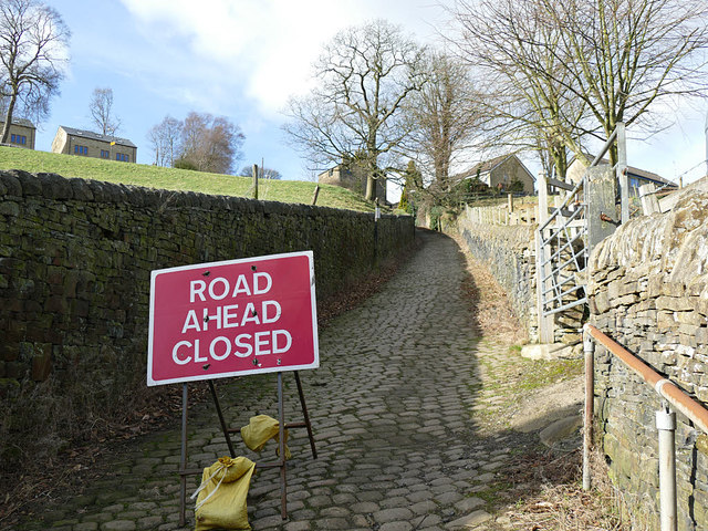
Image: © Stephen Craven Taken: 16 Feb 2019
The top of Old Lane, a steep setted road out of Luddenden village. The sign is somewhat redundant as there's a "no motor vehicles sign" at the bottom of the hill, and you can't get get anything larger than a bicycle through at the top of the road anyway.
Images are licensed for reuse under creativecommons.org/licenses/by-sa/2.0
Image Location


Leaflet Map data © OpenStreetMap
Latitude
53.732269
Longitude
-1.941149