Making the fly-tippers stumped for access
Introduction
The photograph on this page of Making the fly-tippers stumped for access by Neil Owen as part of the Geograph project.
The Geograph project started in 2005 with the aim of publishing, organising and preserving representative images for every square kilometre of Great Britain, Ireland and the Isle of Man.

There are currently over 7.5m images from over 14,400 individuals and you can help contribute to the project by visiting https://www.geograph.org.uk
Making the fly-tippers stumped for access
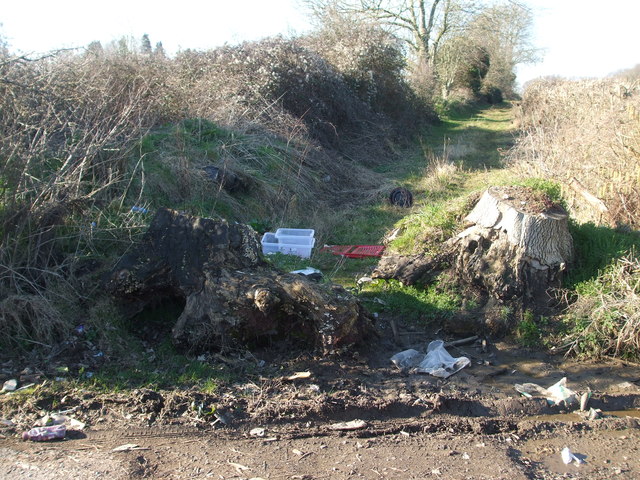
Image: © Neil Owen Taken: 25 Feb 2019
The track leading to the delightfully named Starvelark Wood has had some large tree stumps placed in the way of more concerted dumpers.
Images are licensed for reuse under creativecommons.org/licenses/by-sa/2.0
Image Location
Latitude
51.305825
Longitude
-2.457136