Approaching The Crossroads
Introduction
The photograph on this page of Approaching The Crossroads by Bob Harvey as part of the Geograph project.
The Geograph project started in 2005 with the aim of publishing, organising and preserving representative images for every square kilometre of Great Britain, Ireland and the Isle of Man.

There are currently over 7.5m images from over 14,400 individuals and you can help contribute to the project by visiting https://www.geograph.org.uk
Approaching The Crossroads
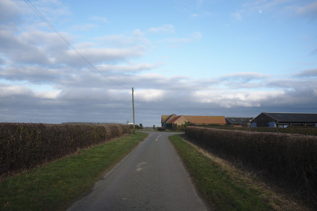
Image: © Bob Harvey Taken: 16 Feb 2019
This junction is known locally as "the crossroads", despite there being no fourth direction, although the alignment of the barns with this road suggests that there might have once been a track in that direction before fields were made larger in the 1950s and 1960s. The remains of this purported track can be seen in Image which is a picture of the barns on the horizon here.
Images are licensed for reuse under creativecommons.org/licenses/by-sa/2.0
Image Location
Latitude
52.903737
Longitude
-0.434821