Heading towards Mayfield
Introduction
The photograph on this page of Heading towards Mayfield by Chris Thomas-Atkin as part of the Geograph project.
The Geograph project started in 2005 with the aim of publishing, organising and preserving representative images for every square kilometre of Great Britain, Ireland and the Isle of Man.

There are currently over 7.5m images from over 14,400 individuals and you can help contribute to the project by visiting https://www.geograph.org.uk
Heading towards Mayfield
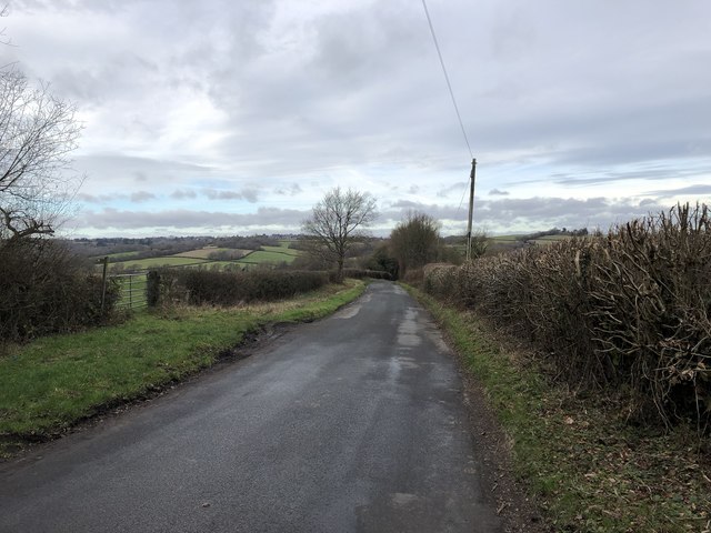
Image: © Chris Thomas-Atkin Taken: 13 Jan 2019
On Street End Lane with a distant view of Mayfield up on the ridge to the left of the photo. A public footpath leaves the roadside on the left as well.
Images are licensed for reuse under creativecommons.org/licenses/by-sa/2.0
Image Location
Latitude
50.998042
Longitude
0.286474