Hillside view from Bedlinog
Introduction
The photograph on this page of Hillside view from Bedlinog by Jaggery as part of the Geograph project.
The Geograph project started in 2005 with the aim of publishing, organising and preserving representative images for every square kilometre of Great Britain, Ireland and the Isle of Man.

There are currently over 7.5m images from over 14,400 individuals and you can help contribute to the project by visiting https://www.geograph.org.uk
Hillside view from Bedlinog
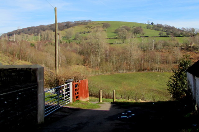
Image: © Jaggery Taken: 22 Feb 2019
The distant hilltop is 413 metres (1,355 ft) above mean sea level. Viewed from the edge of Bedlinog High Street at about 260 metres (c850 ft) above mean sea level.
Images are licensed for reuse under creativecommons.org/licenses/by-sa/2.0
Image Location
Latitude
51.707602
Longitude
-3.295801