Site of new housing, High Halstow
Introduction
The photograph on this page of Site of new housing, High Halstow by Malc McDonald as part of the Geograph project.
The Geograph project started in 2005 with the aim of publishing, organising and preserving representative images for every square kilometre of Great Britain, Ireland and the Isle of Man.

There are currently over 7.5m images from over 14,400 individuals and you can help contribute to the project by visiting https://www.geograph.org.uk
Site of new housing, High Halstow
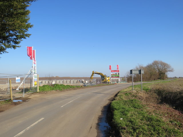
Image: © Malc McDonald Taken: 23 Feb 2019
The site of a new housing development alongside Britannia Road in the village of High Halstow. This image was taken in early 2019, when work was still at an early stage.
Images are licensed for reuse under creativecommons.org/licenses/by-sa/2.0
Image Location
Latitude
51.451592
Longitude
0.568155