Old Milestone by the B4214, Munderfield Stocks, Avenbury parish
Introduction
The photograph on this page of Old Milestone by the B4214, Munderfield Stocks, Avenbury parish by Robert Walker as part of the Geograph project.
The Geograph project started in 2005 with the aim of publishing, organising and preserving representative images for every square kilometre of Great Britain, Ireland and the Isle of Man.

There are currently over 7.5m images from over 14,400 individuals and you can help contribute to the project by visiting https://www.geograph.org.uk
Old Milestone by the B4214, Munderfield Stocks, Avenbury parish
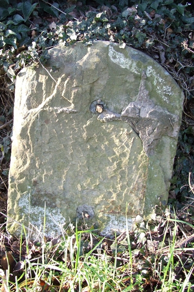
Image: © Robert Walker Taken: 14 Jan 2012
Metal plate (lost) attached to stone post by the B4214, in parish of AVENBURY (District), Munderfield Stocks, by the West side of road. Bromyard iron plate, erected by the Bromyard turnpike trust in the 19th century. Inscription once read:- (TO) (BROMYARD) (3) (MILES) Herefordshire SMR. SMR Number: 56534 https://www.heritagegateway.org.uk/Gateway/Results_Single.aspx?uid=MHE28291&resourceID=101 Milestone Society National ID: HF_BYLD03.
Images are licensed for reuse under creativecommons.org/licenses/by-sa/2.0
Image Location
Latitude
52.15262
Longitude
-2.512564