Businesses in Higher Penwortham
Introduction
The photograph on this page of Businesses in Higher Penwortham by Mary and Angus Hogg as part of the Geograph project.
The Geograph project started in 2005 with the aim of publishing, organising and preserving representative images for every square kilometre of Great Britain, Ireland and the Isle of Man.

There are currently over 7.5m images from over 14,400 individuals and you can help contribute to the project by visiting https://www.geograph.org.uk
Businesses in Higher Penwortham
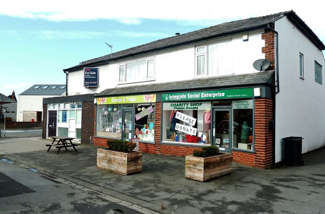
Image: © Mary and Angus Hogg Taken: 18 Feb 2019
Located at the junction of Crookings Lane and Liverpool Road, this block contains a charity shop, a sweet shop and a former bank.
Images are licensed for reuse under creativecommons.org/licenses/by-sa/2.0
Image Location
Latitude
53.748991
Longitude
-2.735276