Northeast boundary of Gelligaer
Introduction
The photograph on this page of Northeast boundary of Gelligaer by Jaggery as part of the Geograph project.
The Geograph project started in 2005 with the aim of publishing, organising and preserving representative images for every square kilometre of Great Britain, Ireland and the Isle of Man.

There are currently over 7.5m images from over 14,400 individuals and you can help contribute to the project by visiting https://www.geograph.org.uk
Northeast boundary of Gelligaer
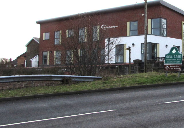
Image: © Jaggery Taken: 13 Feb 2019
The B4254 from Penpedairheol reaches Gelligaer. Signs show Conservation Area & Roman Fort and their Welsh equivalents. Gelligaer Surgery https://www.geograph.org.uk/photo/3458317 dominates the view.
Images are licensed for reuse under creativecommons.org/licenses/by-sa/2.0
Image Location
Latitude
51.663947
Longitude
-3.250166