Lana Lake valley
Introduction
The photograph on this page of Lana Lake valley by Derek Harper as part of the Geograph project.
The Geograph project started in 2005 with the aim of publishing, organising and preserving representative images for every square kilometre of Great Britain, Ireland and the Isle of Man.

There are currently over 7.5m images from over 14,400 individuals and you can help contribute to the project by visiting https://www.geograph.org.uk
Lana Lake valley
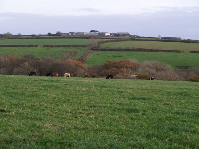
Image: © Derek Harper Taken: 6 Nov 2007
The field with the cattle is beside the lane between Tetcott and Clawton, and on the southwestern slopes of the valley of the Lana Lake, a tributary of the Tamar. As it crosses the square, the stream is bordered by a belt of woodland. Beyond, fields rise towards Belland, which is in SX3596.
Images are licensed for reuse under creativecommons.org/licenses/by-sa/2.0
Image Location
Latitude
50.749064
Longitude
-4.341696