Sarisbury Green
Introduction
The photograph on this page of Sarisbury Green by Peter Jordan as part of the Geograph project.
The Geograph project started in 2005 with the aim of publishing, organising and preserving representative images for every square kilometre of Great Britain, Ireland and the Isle of Man.

There are currently over 7.5m images from over 14,400 individuals and you can help contribute to the project by visiting https://www.geograph.org.uk
Sarisbury Green
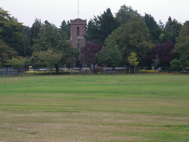
Image: © Peter Jordan Taken: 30 Sep 2005
Looking east across Sarisbury Green towards St Paul's Church. The busy A27 passes out of sight to the north of the Green.
Images are licensed for reuse under creativecommons.org/licenses/by-sa/2.0
Image Location


Leaflet Map data © OpenStreetMap
Latitude
50.875625
Longitude
-1.287883