Field near Hornacott Farm
Introduction
The photograph on this page of Field near Hornacott Farm by Derek Harper as part of the Geograph project.
The Geograph project started in 2005 with the aim of publishing, organising and preserving representative images for every square kilometre of Great Britain, Ireland and the Isle of Man.

There are currently over 7.5m images from over 14,400 individuals and you can help contribute to the project by visiting https://www.geograph.org.uk
Field near Hornacott Farm
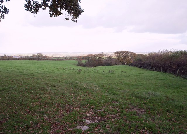
Image: © Derek Harper Taken: 6 Nov 2007
Looking east from the lane between Boyton and North Tamerton across a field to trees around the source of a stream, which joins with others to form a small tributary of the Tamar.
Images are licensed for reuse under creativecommons.org/licenses/by-sa/2.0
Image Location


Leaflet Map data © OpenStreetMap
Latitude
50.728985
Longitude
-4.400212