Dumfries from the air
Introduction
The photograph on this page of Dumfries from the air by Thomas Nugent as part of the Geograph project.
The Geograph project started in 2005 with the aim of publishing, organising and preserving representative images for every square kilometre of Great Britain, Ireland and the Isle of Man.

There are currently over 7.5m images from over 14,400 individuals and you can help contribute to the project by visiting https://www.geograph.org.uk
Dumfries from the air
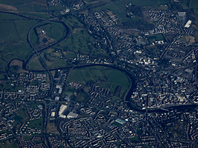
Image: © Thomas Nugent Taken: 11 Feb 2019
The A75 road crosses the River Nith three times in the Nithside area of the town. Cuckoo Bridge retail park and Palmerston Park (Queen of the South FC) are also visible.
Images are licensed for reuse under creativecommons.org/licenses/by-sa/2.0
Image Location
Latitude
55.072134
Longitude
-3.622455