The Scurr and High Shore
Introduction
The photograph on this page of The Scurr and High Shore by Anne Burgess as part of the Geograph project.
The Geograph project started in 2005 with the aim of publishing, organising and preserving representative images for every square kilometre of Great Britain, Ireland and the Isle of Man.

There are currently over 7.5m images from over 14,400 individuals and you can help contribute to the project by visiting https://www.geograph.org.uk
The Scurr and High Shore
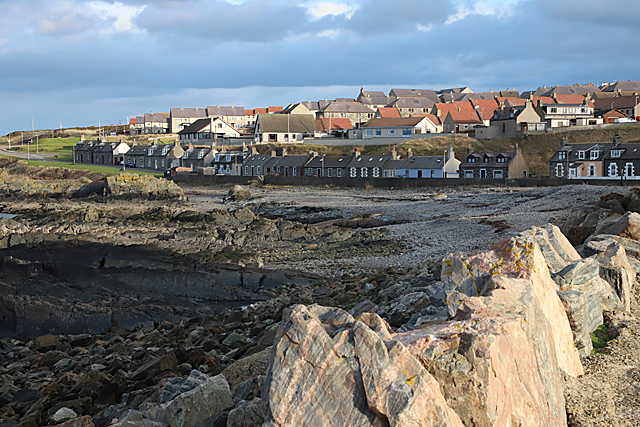
Image: © Anne Burgess Taken: 18 Feb 2019
The rocks in the foreground are named on the maps as the Scurr. High Shore is so named to distinguish it from Low Shore, which is nearer the harbour, rather than because it was higher above the sea.
Images are licensed for reuse under creativecommons.org/licenses/by-sa/2.0
Image Location
Latitude
57.672209
Longitude
-2.490348