B6426 St Albans Road East, Hatfield
Introduction
The photograph on this page of B6426 St Albans Road East, Hatfield by Robin Webster as part of the Geograph project.
The Geograph project started in 2005 with the aim of publishing, organising and preserving representative images for every square kilometre of Great Britain, Ireland and the Isle of Man.

There are currently over 7.5m images from over 14,400 individuals and you can help contribute to the project by visiting https://www.geograph.org.uk
B6426 St Albans Road East, Hatfield
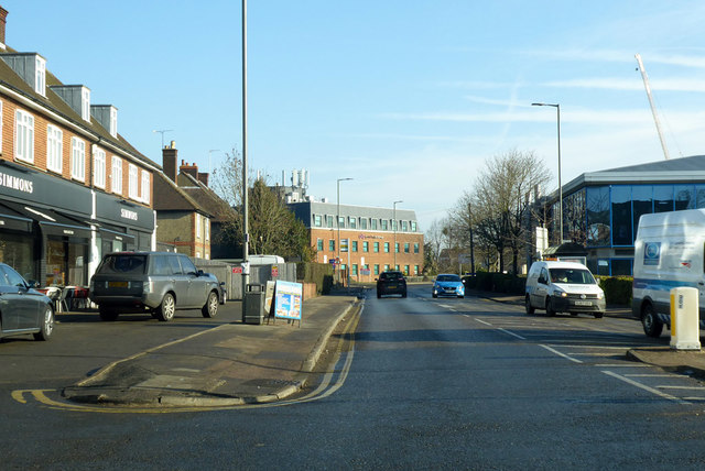
Image: © Robin Webster Taken: 17 Feb 2019
A surprising road name as it is heading east from the modern town centre towards Hertford, the opposite direction to St Albans.
Images are licensed for reuse under creativecommons.org/licenses/by-sa/2.0
Image Location
Latitude
51.766962
Longitude
-0.217351