Church House
Introduction
The photograph on this page of Church House by Neil Owen as part of the Geograph project.
The Geograph project started in 2005 with the aim of publishing, organising and preserving representative images for every square kilometre of Great Britain, Ireland and the Isle of Man.

There are currently over 7.5m images from over 14,400 individuals and you can help contribute to the project by visiting https://www.geograph.org.uk
Church House
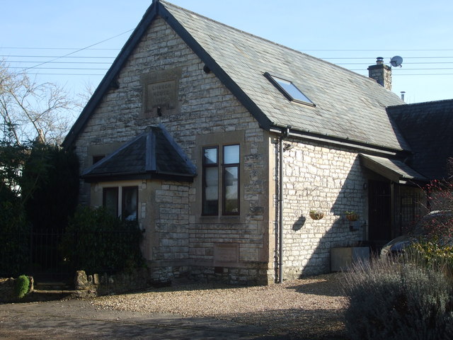
Image: © Neil Owen Taken: 14 Feb 2019
This building (now a private residence) was the Church House. Interestingly, the date stone carries the year 1916, but the foundation stone at the foot of the wall is dated 1914 - clearly a difficult time to be building.
Images are licensed for reuse under creativecommons.org/licenses/by-sa/2.0
Image Location
Latitude
51.267055
Longitude
-2.504481