Path On Merle Common
Introduction
The photograph on this page of Path On Merle Common by Glyn Baker as part of the Geograph project.
The Geograph project started in 2005 with the aim of publishing, organising and preserving representative images for every square kilometre of Great Britain, Ireland and the Isle of Man.

There are currently over 7.5m images from over 14,400 individuals and you can help contribute to the project by visiting https://www.geograph.org.uk
Path On Merle Common
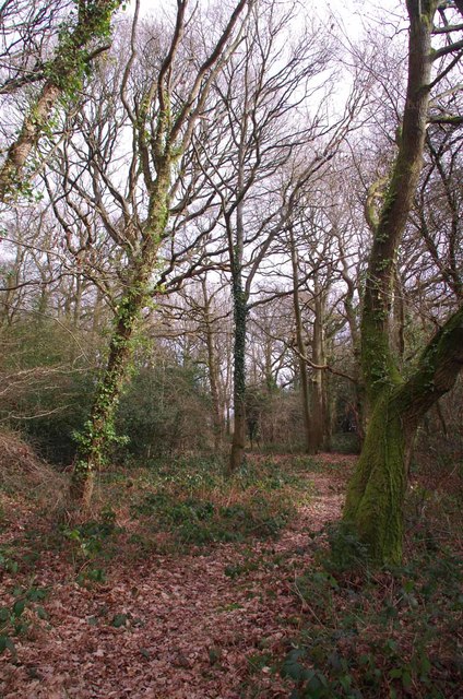
Image: © Glyn Baker Taken: 12 Feb 2019
By the size of the trees my best guess is regular grazing stopped on Merle Common sometime around WW2.
Images are licensed for reuse under creativecommons.org/licenses/by-sa/2.0
Image Location
Latitude
51.225126
Longitude
0.012553