Pillbox
Introduction
The photograph on this page of Pillbox by Bill Harrison as part of the Geograph project.
The Geograph project started in 2005 with the aim of publishing, organising and preserving representative images for every square kilometre of Great Britain, Ireland and the Isle of Man.

There are currently over 7.5m images from over 14,400 individuals and you can help contribute to the project by visiting https://www.geograph.org.uk
Pillbox
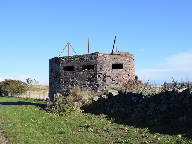
Image: © Bill Harrison Taken: 6 Oct 2018
As noted by George Wilson, this had something to do with the former RAF Schoolhill radar station: http://www.subbrit.org.uk/sb-sites/sites/s/schoolhill_chain_home/index.shtml
Images are licensed for reuse under creativecommons.org/licenses/by-sa/2.0
Image Location
Latitude
57.070781
Longitude
-2.149568