Towards St Breock
Introduction
The photograph on this page of Towards St Breock by Derek Harper as part of the Geograph project.
The Geograph project started in 2005 with the aim of publishing, organising and preserving representative images for every square kilometre of Great Britain, Ireland and the Isle of Man.

There are currently over 7.5m images from over 14,400 individuals and you can help contribute to the project by visiting https://www.geograph.org.uk
Towards St Breock
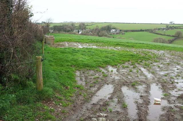
Image: © Derek Harper Taken: 7 Feb 2019
A rather damp field by the lane past Trelyll Farm. Some of the village is visible in the valley. On the horizon, rather pale in this exposure, are units at Dunveth Business Park.
Images are licensed for reuse under creativecommons.org/licenses/by-sa/2.0
Image Location


Leaflet Map data © OpenStreetMap
Latitude
50.508369
Longitude
-4.853624