Footpath sign, Turnpike Lane Pant
Introduction
The photograph on this page of Footpath sign, Turnpike Lane Pant by Jim Barton as part of the Geograph project.
The Geograph project started in 2005 with the aim of publishing, organising and preserving representative images for every square kilometre of Great Britain, Ireland and the Isle of Man.

There are currently over 7.5m images from over 14,400 individuals and you can help contribute to the project by visiting https://www.geograph.org.uk
Footpath sign, Turnpike Lane Pant
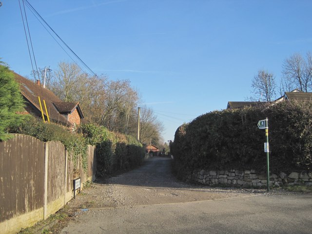
Image: © Jim Barton Taken: 15 Feb 2019
The path leads to Marford village and the B5445.
Images are licensed for reuse under creativecommons.org/licenses/by-sa/2.0
Image Location
Latitude
53.091115
Longitude
-2.960985