Old Milestone by the A379, Main Road, Brixton
Introduction
The photograph on this page of Old Milestone by the A379, Main Road, Brixton by Alan Rosevear as part of the Geograph project.
The Geograph project started in 2005 with the aim of publishing, organising and preserving representative images for every square kilometre of Great Britain, Ireland and the Isle of Man.

There are currently over 7.5m images from over 14,400 individuals and you can help contribute to the project by visiting https://www.geograph.org.uk
Old Milestone by the A379, Main Road, Brixton
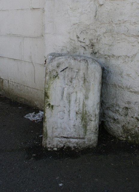
Image: © Alan Rosevear Taken: 19 Mar 2012
Carved stone post by the A379, in parish of Brixton (South Hams District), Main Road, by Brixton Fish and Chip shop, 30m East of Steer Point Road, on path by wall, on South side of road. Modbury Totnes marker, erected by the Modbury turnpike trust in the 18th century. Inscription reads:- : (5) / To / Plymo : : 17 / To / Totnes : Carved benchmark on right hand face. Devon & Dartmoor HER. HER Number: MDV46958 https://www.heritagegateway.org.uk/Gateway/Results_Single.aspx?uid=MDV46958&resourceID=104 Milestone Society National ID: DV_TNPL17
Images are licensed for reuse under creativecommons.org/licenses/by-sa/2.0
Image Location
Latitude
50.350636
Longitude
-4.037777