Stile into access land
Introduction
The photograph on this page of Stile into access land by Gordon Hatton as part of the Geograph project.
The Geograph project started in 2005 with the aim of publishing, organising and preserving representative images for every square kilometre of Great Britain, Ireland and the Isle of Man.

There are currently over 7.5m images from over 14,400 individuals and you can help contribute to the project by visiting https://www.geograph.org.uk
Stile into access land
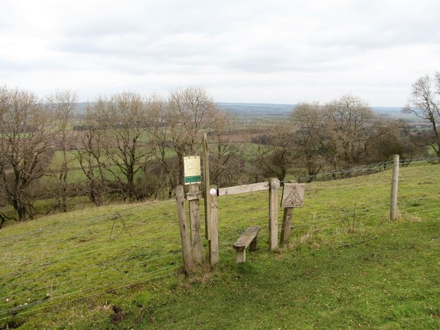
Image: © Gordon Hatton Taken: 13 Feb 2019
A small area of access land on West Heslerton Brow. The Wolds area has relatively little in the way of access land, but the OS map shows access areas in places where there appears to be no access from a right of way - strange! This small patch on the scarp slope appears to have just this one access point.
Images are licensed for reuse under creativecommons.org/licenses/by-sa/2.0
Image Location
Latitude
54.161348
Longitude
-0.618711