End of the 20 zone, Oxford Street, Gelligaer
Introduction
The photograph on this page of End of the 20 zone, Oxford Street, Gelligaer by Jaggery as part of the Geograph project.
The Geograph project started in 2005 with the aim of publishing, organising and preserving representative images for every square kilometre of Great Britain, Ireland and the Isle of Man.

There are currently over 7.5m images from over 14,400 individuals and you can help contribute to the project by visiting https://www.geograph.org.uk
End of the 20 zone, Oxford Street, Gelligaer
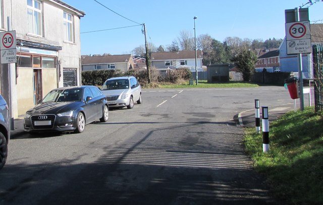
Image: © Jaggery Taken: 14 Feb 2019
The 20mph speed limit near Glyn-Gaer Primary School increases to 30mph on the approach to the Glyn-Gaer Road junction.
Images are licensed for reuse under creativecommons.org/licenses/by-sa/2.0
Image Location
Latitude
51.665266
Longitude
-3.244563