Gelligaer & Penybryn Partnership noticeboard in Gelligaer
Introduction
The photograph on this page of Gelligaer & Penybryn Partnership noticeboard in Gelligaer by Jaggery as part of the Geograph project.
The Geograph project started in 2005 with the aim of publishing, organising and preserving representative images for every square kilometre of Great Britain, Ireland and the Isle of Man.

There are currently over 7.5m images from over 14,400 individuals and you can help contribute to the project by visiting https://www.geograph.org.uk
Gelligaer & Penybryn Partnership noticeboard in Gelligaer
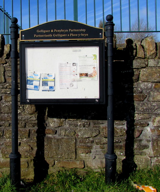
Image: © Jaggery Taken: 14 Feb 2019
Located here https://www.geograph.org.uk/photo/6059757 outside St Catwg Community Hall. The name on the board is also in Welsh.
Images are licensed for reuse under creativecommons.org/licenses/by-sa/2.0
Image Location
Latitude
51.66393
Longitude
-3.251756