Grassed area with paths near A182
Introduction
The photograph on this page of Grassed area with paths near A182 by Trevor Littlewood as part of the Geograph project.
The Geograph project started in 2005 with the aim of publishing, organising and preserving representative images for every square kilometre of Great Britain, Ireland and the Isle of Man.

There are currently over 7.5m images from over 14,400 individuals and you can help contribute to the project by visiting https://www.geograph.org.uk
Grassed area with paths near A182
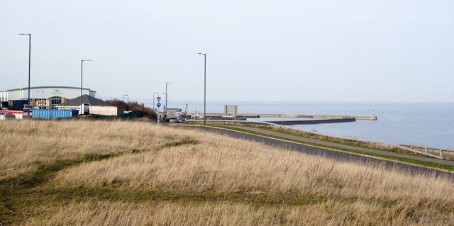
Image: © Trevor Littlewood Taken: 14 Feb 2019
The route of the England Coastal Path passes through the ground in front of the camera. It's actual line is not over the grass but along or close to the tarmacked road. The outer sea defences of Seaham Harbour are in the distance.
Images are licensed for reuse under creativecommons.org/licenses/by-sa/2.0
Image Location
Latitude
54.826845
Longitude
-1.323964