Public footpath
Introduction
The photograph on this page of Public footpath by Alan Walker as part of the Geograph project.
The Geograph project started in 2005 with the aim of publishing, organising and preserving representative images for every square kilometre of Great Britain, Ireland and the Isle of Man.

There are currently over 7.5m images from over 14,400 individuals and you can help contribute to the project by visiting https://www.geograph.org.uk
Public footpath
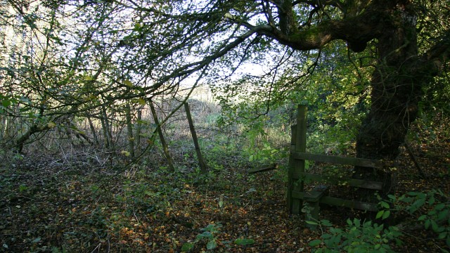
Image: © Alan Walker Taken: 6 Nov 2007
This north-easterly facing photograph shows a stile carrying a public footpath from an area of nettles, briers and small trees (behind the viewpoint) into a field (ahead) and thence uphill toward the Image For a more north-easterly (ahead) photograph of the footpath, click here Image For a more south-westerly (behind the viewpoint) photograph of the footpath, click here Image
Images are licensed for reuse under creativecommons.org/licenses/by-sa/2.0
Image Location
Latitude
53.168901
Longitude
-1.364804