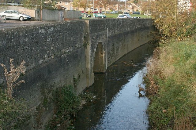
2007 : Trowle Bridge, Trowbridge
Introduction
The photograph on this page of 2007 : Trowle Bridge, Trowbridge by Maurice Pullin as part of the Geograph project.
The Geograph project started in 2005 with the aim of publishing, organising and preserving representative images for every square kilometre of Great Britain, Ireland and the Isle of Man.
There are currently over 7.5m images from over 14,400 individuals and you can help contribute to the project by visiting https://www.geograph.org.uk

Image: © Maurice Pullin Taken: 6 Nov 2007
The River Biss does not pass through Trowle Bridge which was built to accommodate Lambrok Stream, one of its tributaries. The other side of the bridge is an unpleasant mess. Effluent from new housing developments during the 1950s and 60s seriously overloaded Trowbridge's sewage system. The resulting stink in this area cannot be imagined; it can only be remembered. The situation is far more salubrious these days.

