Cadehill Road
Introduction
The photograph on this page of Cadehill Road by Trevor Littlewood as part of the Geograph project.
The Geograph project started in 2005 with the aim of publishing, organising and preserving representative images for every square kilometre of Great Britain, Ireland and the Isle of Man.

There are currently over 7.5m images from over 14,400 individuals and you can help contribute to the project by visiting https://www.geograph.org.uk
Cadehill Road
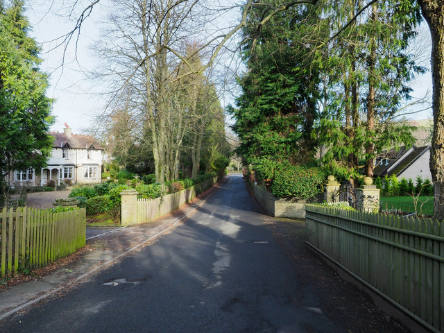
Image: © Trevor Littlewood Taken: 11 Feb 2019
Cadehill Road is part of Painshawfield or Park Estate which accounts for much of the housing stock in the commuter village of Stocksfield. Properties there are generally large, detached and are surrounded by substantial gardens.
Images are licensed for reuse under creativecommons.org/licenses/by-sa/2.0
Image Location
Latitude
54.942187
Longitude
-1.906155