Cheshire farmland south-west of Audlem
Introduction
The photograph on this page of Cheshire farmland south-west of Audlem by Roger Kidd as part of the Geograph project.
The Geograph project started in 2005 with the aim of publishing, organising and preserving representative images for every square kilometre of Great Britain, Ireland and the Isle of Man.

There are currently over 7.5m images from over 14,400 individuals and you can help contribute to the project by visiting https://www.geograph.org.uk
Cheshire farmland south-west of Audlem
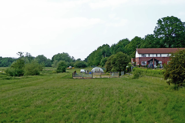
Image: © Roger Kidd Taken: 5 Jun 2018
This telephoto assisted image of pasture is by the River Weaver, near Copthorne.
Images are licensed for reuse under creativecommons.org/licenses/by-sa/2.0
Image Location
Latitude
52.984288
Longitude
-2.518306