Southern boundary of Penybryn
Introduction
The photograph on this page of Southern boundary of Penybryn by Jaggery as part of the Geograph project.
The Geograph project started in 2005 with the aim of publishing, organising and preserving representative images for every square kilometre of Great Britain, Ireland and the Isle of Man.

There are currently over 7.5m images from over 14,400 individuals and you can help contribute to the project by visiting https://www.geograph.org.uk
Southern boundary of Penybryn
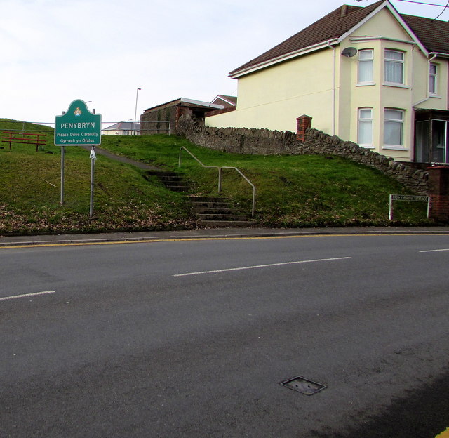
Image: © Jaggery Taken: 13 Feb 2019
The road from Penallta reaches Penybryn, a village near Gelligaer in the County Borough of Caerphilly.
Images are licensed for reuse under creativecommons.org/licenses/by-sa/2.0
Image Location
Latitude
51.65514
Longitude
-3.249779