Staithes Beck
Introduction
The photograph on this page of Staithes Beck by Gordon Hatton as part of the Geograph project.
The Geograph project started in 2005 with the aim of publishing, organising and preserving representative images for every square kilometre of Great Britain, Ireland and the Isle of Man.

There are currently over 7.5m images from over 14,400 individuals and you can help contribute to the project by visiting https://www.geograph.org.uk
Staithes Beck
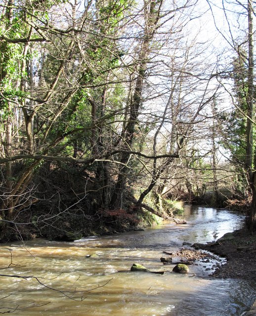
Image: © Gordon Hatton Taken: 9 Feb 2019
Roxby Beck and Easington Beck combine at this point, but what should the combined waters be called? The current OS map is no help, but if one goes back to old OS 6" maps, the name 'Staithes Beck' appears here and not just on the approach to the village of that name.
Images are licensed for reuse under creativecommons.org/licenses/by-sa/2.0
Image Location


Leaflet Map data © OpenStreetMap
Latitude
54.551192
Longitude
-0.808117