Junction at the northern end of Parc Pentre, Mitchel Troy
Introduction
The photograph on this page of Junction at the northern end of Parc Pentre, Mitchel Troy by Jaggery as part of the Geograph project.
The Geograph project started in 2005 with the aim of publishing, organising and preserving representative images for every square kilometre of Great Britain, Ireland and the Isle of Man.

There are currently over 7.5m images from over 14,400 individuals and you can help contribute to the project by visiting https://www.geograph.org.uk
Junction at the northern end of Parc Pentre, Mitchel Troy
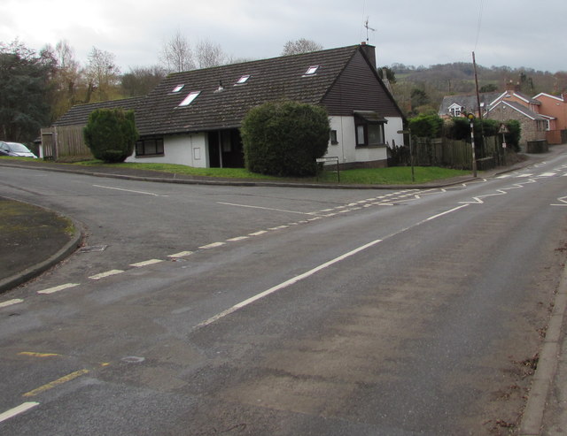
Image: © Jaggery Taken: 12 Feb 2019
From the left, the cul-de-sac Parc Pentre joins the main road through Mitchel Troy.
Images are licensed for reuse under creativecommons.org/licenses/by-sa/2.0
Image Location
Latitude
51.789947
Longitude
-2.736183