Bus stop and shelter near the village primary school, Cwmdare
Introduction
The photograph on this page of Bus stop and shelter near the village primary school, Cwmdare by Jaggery as part of the Geograph project.
The Geograph project started in 2005 with the aim of publishing, organising and preserving representative images for every square kilometre of Great Britain, Ireland and the Isle of Man.

There are currently over 7.5m images from over 14,400 individuals and you can help contribute to the project by visiting https://www.geograph.org.uk
Bus stop and shelter near the village primary school, Cwmdare
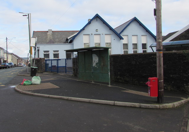
Image: © Jaggery Taken: 11 Feb 2019
Alongside Gobaith Terrace near the south edge of Cwmdâr Primary School. Though the school is an English-medium school in an area where Welsh is the first language of very few people, the school name uses Cwmdâr, the Welsh form of Cwmdare.
Images are licensed for reuse under creativecommons.org/licenses/by-sa/2.0
Image Location
Latitude
51.719335
Longitude
-3.475069