Site of Chequers Wood
Introduction
The photograph on this page of Site of Chequers Wood by Robin Webster as part of the Geograph project.
The Geograph project started in 2005 with the aim of publishing, organising and preserving representative images for every square kilometre of Great Britain, Ireland and the Isle of Man.

There are currently over 7.5m images from over 14,400 individuals and you can help contribute to the project by visiting https://www.geograph.org.uk
Site of Chequers Wood
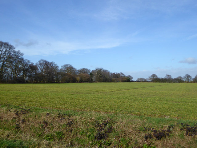
Image: © Robin Webster Taken: 9 Feb 2019
This rectangular field was a wood which disappeared from maps between the 1960s and 1980s, leaving just broad hedgerows or narrow tree belts on the two far sides seen here. The name is still on maps, but the remains hardly justify that.
Images are licensed for reuse under creativecommons.org/licenses/by-sa/2.0
Image Location
Latitude
51.919664
Longitude
1.058173