Junction near Monkhopton
Introduction
The photograph on this page of Junction near Monkhopton by Richard Webb as part of the Geograph project.
The Geograph project started in 2005 with the aim of publishing, organising and preserving representative images for every square kilometre of Great Britain, Ireland and the Isle of Man.

There are currently over 7.5m images from over 14,400 individuals and you can help contribute to the project by visiting https://www.geograph.org.uk
Junction near Monkhopton
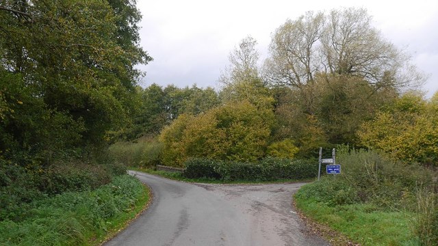
Image: © Richard Webb Taken: 16 Oct 2018
Just over the watershed from Corve Dale with the hillside ahead landscaped with put and take fishing ponds.
Images are licensed for reuse under creativecommons.org/licenses/by-sa/2.0
Image Location
Latitude
52.54384
Longitude
-2.548489