Path from Llanrhydd Street, to Brynhyfryd School
Introduction
The photograph on this page of Path from Llanrhydd Street, to Brynhyfryd School by Eirian Evans as part of the Geograph project.
The Geograph project started in 2005 with the aim of publishing, organising and preserving representative images for every square kilometre of Great Britain, Ireland and the Isle of Man.

There are currently over 7.5m images from over 14,400 individuals and you can help contribute to the project by visiting https://www.geograph.org.uk
Path from Llanrhydd Street, to Brynhyfryd School
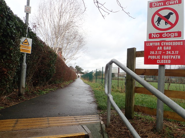
Image: © Eirian Evans Taken: 10 Feb 2019
This is also a public footpath outside of school terms and hours.
Images are licensed for reuse under creativecommons.org/licenses/by-sa/2.0
Image Location
Latitude
53.111734
Longitude
-3.298337