South side of Abercynon Community Primary School
Introduction
The photograph on this page of South side of Abercynon Community Primary School by Jaggery as part of the Geograph project.
The Geograph project started in 2005 with the aim of publishing, organising and preserving representative images for every square kilometre of Great Britain, Ireland and the Isle of Man.

There are currently over 7.5m images from over 14,400 individuals and you can help contribute to the project by visiting https://www.geograph.org.uk
South side of Abercynon Community Primary School
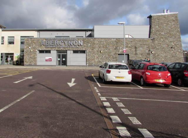
Image: © Jaggery Taken: 11 Feb 2019
Viewed from Ynysmeurig Road in February 2019. The purpose-built school which opened in September 2013 has replaced the outdated facilities at the former Abercynon Infants School, Carnetown Primary School and Abertaf Primary School. Abercynon Community Primary School occupies the site of the former Abercynon Infants School.
Images are licensed for reuse under creativecommons.org/licenses/by-sa/2.0
Image Location
Latitude
51.646454
Longitude
-3.328311