Silted up turning bay, River Colne
Introduction
The photograph on this page of Silted up turning bay, River Colne by Robin Webster as part of the Geograph project.
The Geograph project started in 2005 with the aim of publishing, organising and preserving representative images for every square kilometre of Great Britain, Ireland and the Isle of Man.

There are currently over 7.5m images from over 14,400 individuals and you can help contribute to the project by visiting https://www.geograph.org.uk
Silted up turning bay, River Colne
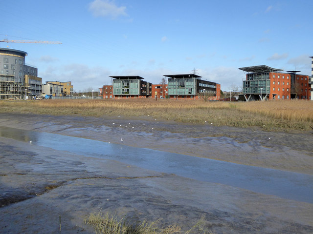
Image: © Robin Webster Taken: 9 Feb 2019
Dredging ceased in the mid 1970s and there is now no large vessel traffic up to Colchester requiring this to turn. Perversely this appears to be a fairly recent feature, before the Colne Causeway bridge was built there was a turning place at the bend in the river just above where the bridge is now. The bridge is fixed and of quite low headroom. It seems that this was excavated to replace the old turning place.
Images are licensed for reuse under creativecommons.org/licenses/by-sa/2.0
Image Location
Latitude
51.87806
Longitude
0.933138