Old Boundary Marker by the B221, New Park Road, Streatham
Introduction
The photograph on this page of Old Boundary Marker by the B221, New Park Road, Streatham by Milestone Society as part of the Geograph project.
The Geograph project started in 2005 with the aim of publishing, organising and preserving representative images for every square kilometre of Great Britain, Ireland and the Isle of Man.

There are currently over 7.5m images from over 14,400 individuals and you can help contribute to the project by visiting https://www.geograph.org.uk
Old Boundary Marker by the B221, New Park Road, Streatham
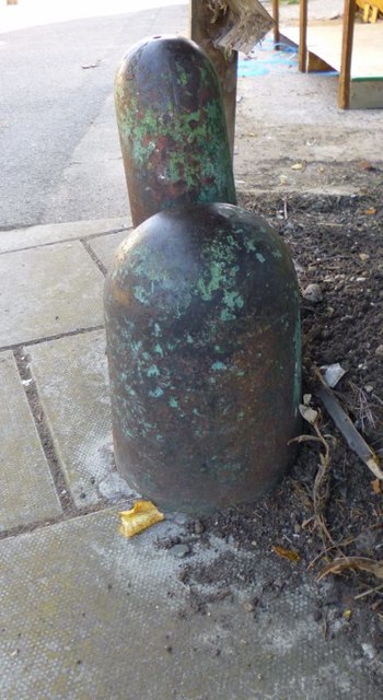
Image: © Milestone Society Taken: Unknown
Parish Boundary Marker by the B221, in parish of Streatham (Lambeth District), New Park Road at junction with Thornton Avenue SW2, against garden boundary fence next to Boundary Marker: SY_CLAP02pb Image Surveyed Milestone Society National ID: SY_STRE01pb
Images are licensed for reuse under creativecommons.org/licenses/by-sa/2.0
Image Location
Latitude
51.443026
Longitude
-0.132632