Old Milestone by the B1352, Upper Dovercourt, Harwich parish
Introduction
The photograph on this page of Old Milestone by the B1352, Upper Dovercourt, Harwich parish by JV Nicholls as part of the Geograph project.
The Geograph project started in 2005 with the aim of publishing, organising and preserving representative images for every square kilometre of Great Britain, Ireland and the Isle of Man.

There are currently over 7.5m images from over 14,400 individuals and you can help contribute to the project by visiting https://www.geograph.org.uk
Old Milestone by the B1352, Upper Dovercourt, Harwich parish
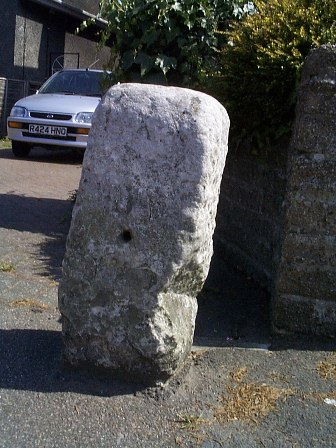
Image: © JV Nicholls Taken: Unknown
Stone post (plate lost) by the B1352, in parish of HARWICH (TENDRING District), 100m West of mini-roundabout, Upper Dovercourt, by No. 451 Main Road, on South side of road. Erected by the Essex Second District turnpike trust in the 18th century. Inscription reads:- LXX LON Essex HER. SMR Number: 15785 https://www.heritagegateway.org.uk/Gateway/Results_Single.aspx?uid=MEX1032867&resourceID=1001 Milestone Society National ID: EX_COHH70.
Images are licensed for reuse under creativecommons.org/licenses/by-sa/2.0
Image Location
Latitude
51.933935
Longitude
1.2589