Old Bridge Marker by the A3124, Castle Hill, Beaford parish
Introduction
The photograph on this page of Old Bridge Marker by the A3124, Castle Hill, Beaford parish by A Rosevear as part of the Geograph project.
The Geograph project started in 2005 with the aim of publishing, organising and preserving representative images for every square kilometre of Great Britain, Ireland and the Isle of Man.

There are currently over 7.5m images from over 14,400 individuals and you can help contribute to the project by visiting https://www.geograph.org.uk
Old Bridge Marker by the A3124, Castle Hill, Beaford parish
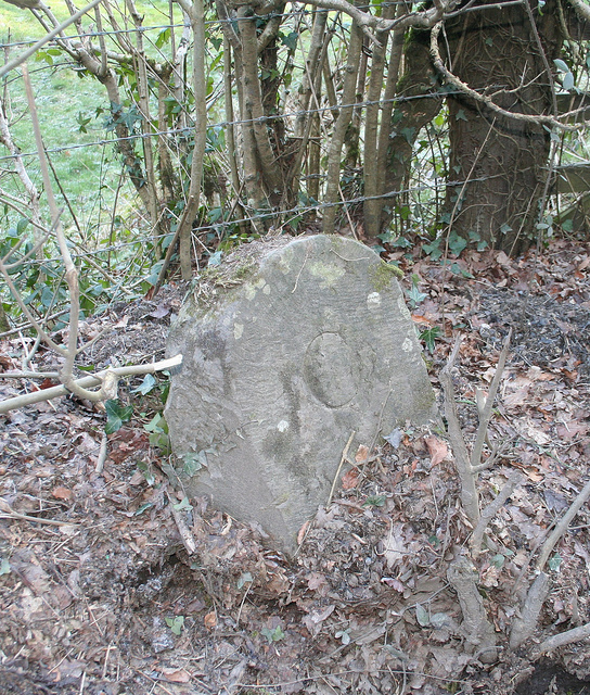
Image: © A Rosevear Taken: 2 Feb 2012
Bridge Marker by the A3124, in Beaford parish (Torridge District), Castle Hill, East of Woolleigh Bridge, in hedge by field gate, North side of road. Surveyed Milestone Society National ID: DV_GTEX02br
Images are licensed for reuse under creativecommons.org/licenses/by-sa/2.0
Image Location
Latitude
50.934565
Longitude
-4.103181